
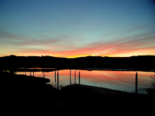
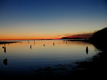
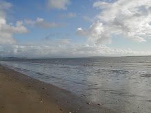
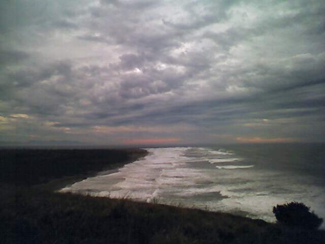
The tsunami in Japan gave us that live along the beach in southwest Washington a reality time kick in the ass. Here is a LIDAR (Light Detection and Ranging) image that utilizes lasers to measure topographic detail from an airplane. Red is bad and purple to white is good. From our house Dian and I have about a 8 minute trot (well..make that a fast trot) to high ground that gets us above 4o feet. The Japan tsunami crested the tops of beach front trees in some areas, such a tidal wave in our area would sweep well inland. The best way to deal with an event that occurs on a cycle of hundreds of years is to get your mind around the fact that if the earth shakes and the Cascadia Subduction earthquake cuts loose, head for the nearest high ground on a route you've already practiced on.


No comments:
Post a Comment